Skip to main content
Main navigation
Collections
Organizations
Exhibits
About
Home
Geography & Maps
Browse All Topics
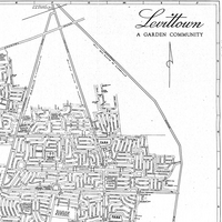
Historic Maps of Levittown
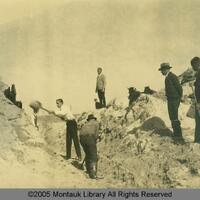
Montauk Land Use and Development
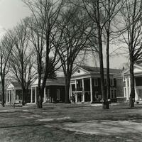
Richard Linke Collection of Adirondacks Re-Viewed Photographs
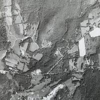
Aerial Photographs of the Cary Institute of Ecosystem Studies
Oceanside Maps
Historic Maps of Rockville Centre and Vicinity
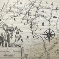
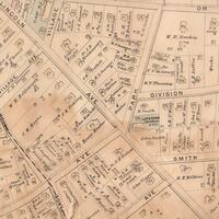
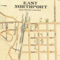
Northport-East Northport Library Map Collection
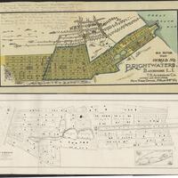
Brightwaters Community Maps and Early Advertisements
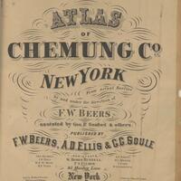
Chemung County Atlases
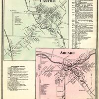
Western New York County Atlases
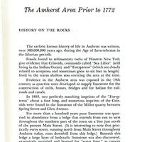
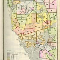
History of the Town of Amherst, New York, 1818-1965
Buffalo Municipal Housing Authority Report Maps
Ken Spooner Collection
Sanborn Map
New York State Rural Farm Registers
1825, a Pivotal Year on the Niagara Frontier
See more