During the early 20th century, the area now known as Levittown lay at the eastern edge of the Hempstead Plains and was home to the farming communities of Jerusalem and Island Trees. Transportation and early infrastructure began to shape the region during this time period, including the construction of the Vanderbilt Parkway—one of the first roads designed for automobile traffic. The landscape also included several rural airfields, most notably the Long Island Aviation Country Club, which operated from 1929 to 1950.
This largely rural environment was dramatically transformed between 1947 and 1951 by the development of Levittown, a planned suburban community built by Levitt & Sons. The maps in this collection visualize this shift from agricultural land to modern suburb and capture the changing patterns of land use, infrastructure, and development over time.
Scope of Collection
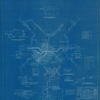
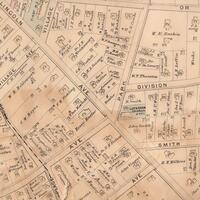
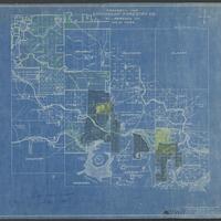
This collection consists of maps of Levittown and surrounding vicinities dating from about 1900-1997. The maps depict land ownership, topography, boundaries, and suburban development of the area.