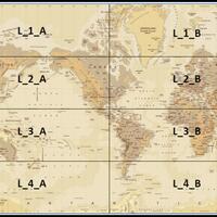
Collections
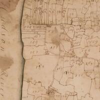
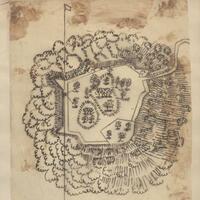
This collection contains the 1740 Cadwallader Colden map - and related indentures - of the 6,000 acres sold to New York's Provincial Governor, Robert Hunter, by Robert Livingston the Elder in 1710 on which to settle the incoming Palatine Germans.
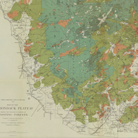
The vast Adirondack Mountains were one of New York State’s last untamed wilderness regions, and historical maps tell the story of how this area was explored, charted, developed and settled from the 1700s through the present day.
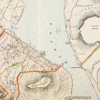
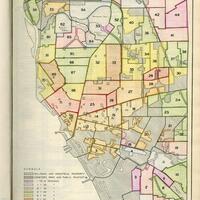
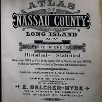
Historic maps detailing land ownership, structures, businesses, and bodies of water from New York City to Troy.
Photographs, maps and ephemera about the Backbone Ridge, an area between Seneca Lake and Cayuga Lake in the Finger Lakes National Forest.
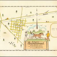
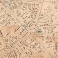
Historical maps of Brentwood and the surrounding area.
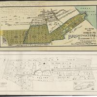
Brightwaters Village throughout the years, early promotion to infrastructure.
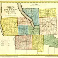
This collection includes historical narratives, deeds, a map, and a photograph documenting the Brothertown tribe's presence in Oneida County and their subsequent migration to Wisconsin.
Maps selected from the 1935 Buffalo Municipal Housing Authority Report.
The City of Buffalo, N.Y. rapidly grew from a small village along Lake Erie to a bourgeoning industrial hub with the completion of the Erie Canal in 1825. The city later became a center for the Steel Industry and other manufacturing.
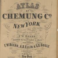
A collection consisting of 2 early atlases of Chemung County (1869,1904) and 2 early atlases of the City of Elmira (1876, 1896). Each image in this collection is a full scale scan of the original items.
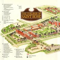
This collection contains maps of the College of Saint Rose campus from the twentieth and twenty-first centuries.
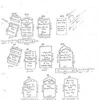
The Colonie New York Cemetery Collection is composed of documents and photographs related to the smaller cemeteries in the Colonie-area.
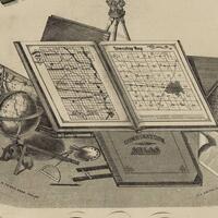
Maps, lithographs, and directories from the 1876 atlas published by the F. A. Davis Company.
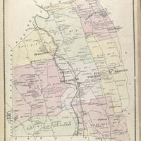
This collection includes the 1875 Beers Atlas of Sullivan County, New York.
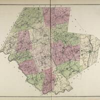
Maps, lithographs, and directories from the 1875 Beers atlas of Ulster County.
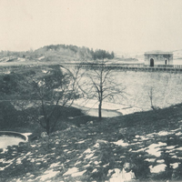
Photo plates, survey maps, and blueprints from the Report to the Aqueduct Commissioners book relative to the East Branch Reservoir in the Town of Southeast.
This collection consists of 66 maps of Newburgh and the surrounding area created between 1852 and 1858.
The Emporium Lumber Company was originally formed in 1892 in Pennsylvania and was dissolved in 1950. The success of the company led to expansion in New York State.
Finch, Pruyn and Company was founded in 1865 when Jeremiah and Daniel Finch, along with Samuel Pruyn, purchased the Glens Falls Company mill in Glens Falls, New York. The company was incorporated in 1900 and paper production began in 1905 and still continues to this day.
Items from the collections the Freeport Memorial Library’s Long Island Room and the research library of the Freeport Historical Society.
Brochures, maps, and invitations from Glen Head and Glenwood Landing, NY.
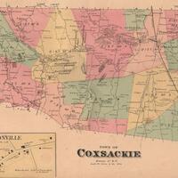
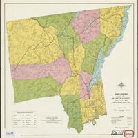
Historical maps of towns located in Greene County, NY.
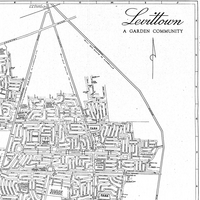
Historical maps of Levittown and the surrounding vicinity.
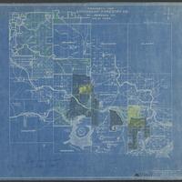
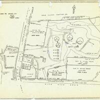
Subdivision, insurance, and local area maps from the late 19th to the mid-20th Centuries.