Home

Main navigation

  • Collections
  • Organizations
  • Exhibits
  • About
  1. Home

Maps

Browse All Topics
Freeport Atlas and Book Collections
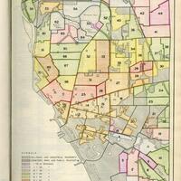
Montauk Land Use and Development
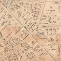
Atlas of the Hudson River Valley from New York City to Troy
Jericho Historical Collection
Adirondack Map Collection
Pearson Street Books
1919 Map of Indian Camp Site, Pintard Avenue, New Rochelle, NY
Morgan H. Seacord Map Collection
Ken Spooner Collection
A portion of the 1740 Cadwallader Colden Map of Germantown
1740-1741 Colden Map
Section of E. Belcher Hyde 1906 Lower Rockville Centre map
Historic Maps of Rockville Centre and Vicinity
Sanborn Map
Sanborn Map
Rochester Area Cemetery Records
Compass System Map of Onondaga County
New York State Rural Farm Registers
County Atlas of Ulster New York
Brightwaters Plot Map, 1916
Brightwaters Community Maps and Early Advertisements
Brentwood’s early days – compiled from historical maps, Nelson studio.
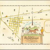
Brentwood Historical Map Collection
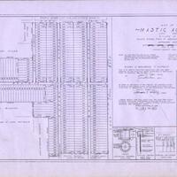
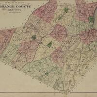
  • See more

More Information

  • For Contributors
  • For Educators
  • Citation Information
  • Copyright Statement
  • Contact Us
Empire State Library Network Logo