Skip to main content
Main navigation
Collections
Organizations
Exhibits
About
Home
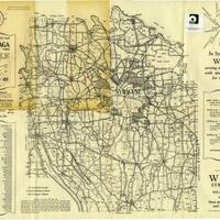
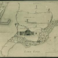
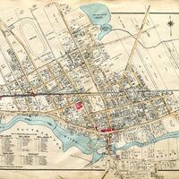
Maps
Browse All Topics
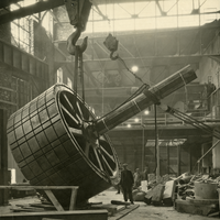
The Niagara Falls Hydraulic Power and Manufacturing Company: A Visual History
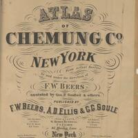
Chemung County Atlases
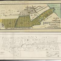
Brightwaters Community Maps and Early Advertisements
New York State Rural Farm Registers
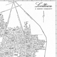
Historic Maps of Levittown
Edmund Blunt Topographic Map Collection
Pearson Street Books
Huntington Historical Maps
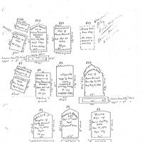
Colonie New York Cemetery Collection
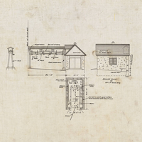
Miner Institute Blueprints and Maps Collection
War of 1812
Riverhead Town Collection
Adirondack Map Collection
Medieval and Early Modern Studies Collection
Oceanside Maps