Skip to main content
Main navigation
Collections
Organizations
Exhibits
About
Home
Geography & Maps
Browse All Topics
Schenectady County Deeds
MacIntyre Iron Company Maps
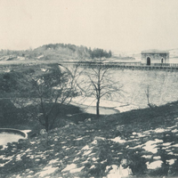
The Croton Reservoir System & The Town of Southeast
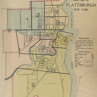
New Atlas of the City of Plattsburgh, N.Y. 1916
Huntington Historical Maps
Historical Society of the Massapequas Collection
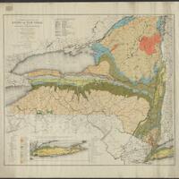
19th Century Monographs on the History of Western New York
Chemung County Atlases
Colonie New York Cemetery Collection
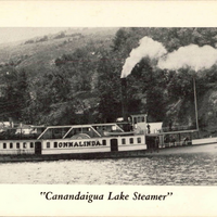
Naples Library Postcard Collection
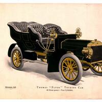
New York to Paris Race
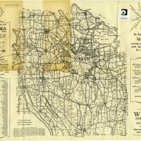
New York State Rural Farm Registers
Water Mill Business Association
Historic Maps of Rockville Centre and Vicinity
Onondaga Parks Association
Pearson Street Books
See more